Solution area
What the administration owns, and what it costs to keep
Public assets, buildings, utility networks, maps and capital projects, held as one connected inventory rather than several lists.
Why it matters
An inventory that supports decisions
Most administrations can say what they own on paper and very little about its condition, its running cost or what is planned for it. One inventory, connected to the works performed on it and the budget spent on it, turns an asset list into a basis for decisions.
One inventory
What the administration owns is held in a single register.
Connected to the works performed
Condition comes from the interventions, not from a survey.
And to the budget spent
Running cost is attached to the asset that generated it.
What it covers
Six solutions, one inventory
Everything positioned on the same spatial base.
04
GIS & interactive maps
The spatial layer everything else is positioned on, public and internal.
06
Data & performance
Dashboards built on the operational records rather than on monthly returns.
How the inventory earns its keep
From a list of objects to a basis for decisions
The register is only useful once the work and the money land on it.
01
Record what exists
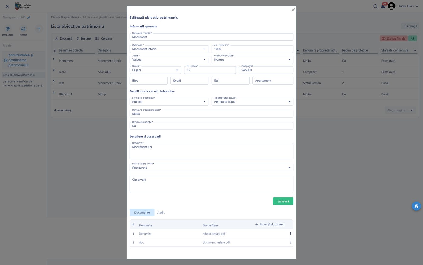
Assets are registered with their location, characteristics, value and the documents that prove ownership.
02
Attach what happens to them
Every work order, inspection, incident and payment lands on the asset it concerned.
03
Read the condition
History and, where sensors exist, live readings show what is deteriorating before it fails.
04
Plan the next investment
Maintenance plans and capital projects are argued from asset data, which is also what funders ask for.
Outcomes
What changes
Running cost per asset, investment cases with evidence, one map for everyone.
Cost per asset, not per department
What a building, a road or a network actually costs to run.
Investment cases with evidence
Condition and history behind every funding application.
One map, many uses
Permits, works, inspections and citizen reports share the same spatial base.
Configured per administration
What is configured
- Asset classes, attributes and valuation rules
- The spatial layers maintained, and which are public
- Maintenance cycles and condition scoring
- Which facilities are managed, and to what standard
- Utility networks modelled and their operational data
- Capital project stages, gates and funding sources
- The dashboards published, and to whom
- Integration with cadastre and national registers
Connected to
The rest of the platform
- Public works and field service, which perform the work
- Budget and procurement, for cost and investment
- Permits, which are decided against a location
- Urban IoT, for live readings from the network
On your own asset base
Bring one asset class and its last year of work orders.
We show the register, the history, the cost and the investment case built from them.